Michigan holds a geographical distinction no other US state can claim - it's divided into two completely separate landmasses. The Upper and Lower Peninsulas, divided by the Straits of Mackinac, give Michigan a unique geographical identity and cultural landscape unlike any other state.
Among the 50 United States, Michigan stands completely unique in its geographical configuration. It is the only state divided into two completely separate parts that don't share a land border. This distinctive characteristic has shaped Michigan's identity, culture, and economy in fascinating ways that set it apart from every other state in the union.
The Great Lakes State is split into two major landmasses-the Upper Peninsula (often called the U.P.) and the Lower Peninsula (sometimes referred to as "the mitten" due to its shape). These two peninsulas are separated by the Straits of Mackinac, where Lakes Michigan and Huron meet, creating a water gap approximately five miles wide.
Michigan's Unique Geography
Michigan's unusual geography resulted from political compromise rather than natural formation. In the 1830s, during a dispute with Ohio over the Toledo Strip, Michigan received the Upper Peninsula as compensation for ceding Toledo. What initially seemed like a poor trade-off became a blessing in disguise when the U.P. revealed its rich mineral deposits, particularly iron and copper ore.
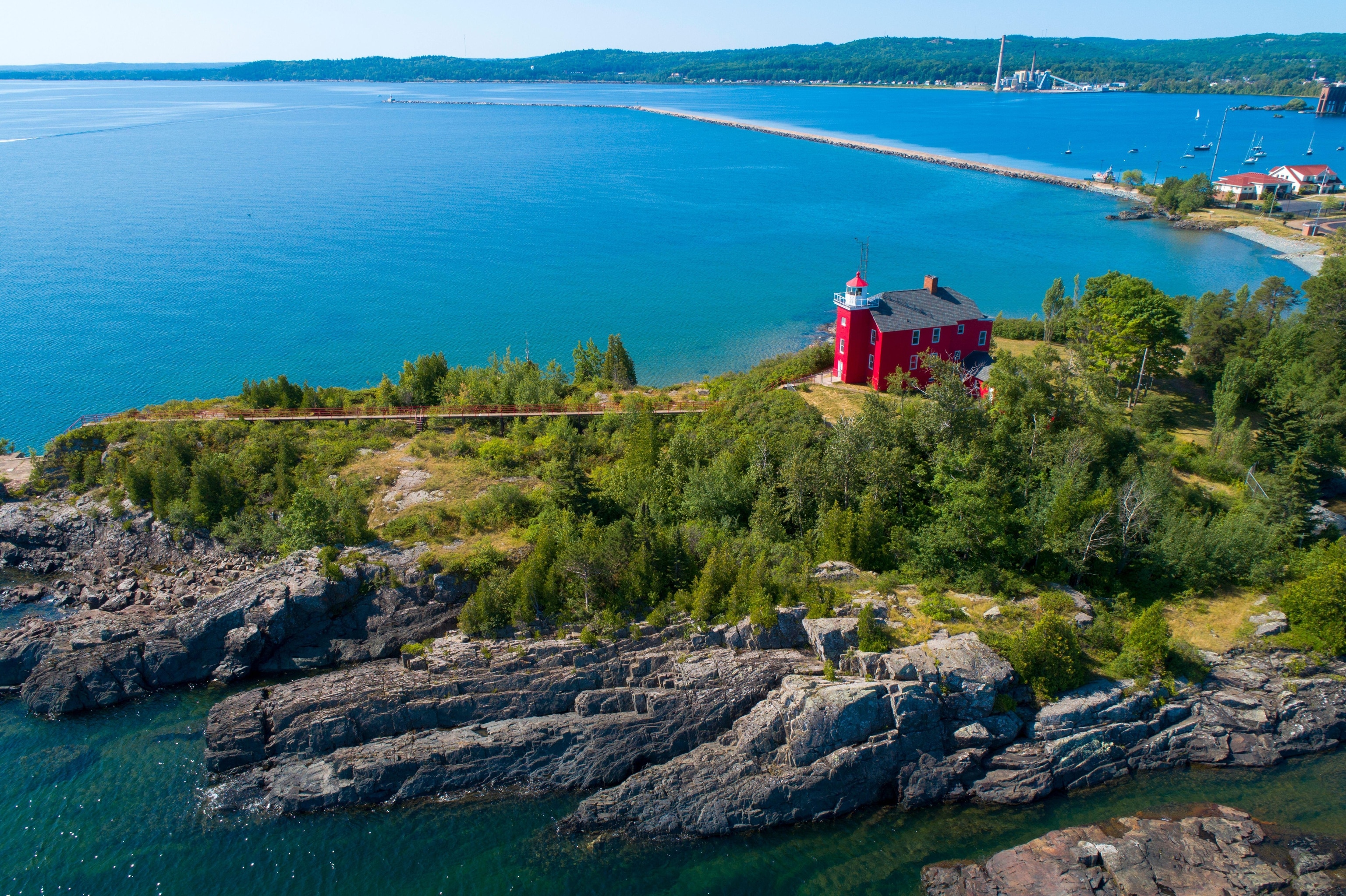
The state is surrounded by four of the five Great Lakes: Lake Superior, Lake Michigan, Lake Huron, and Lake Erie. This gives Michigan the longest freshwater coastline of any political subdivision in the world, with nearly 3,300 miles of shoreline. The state also boasts over 11,000 inland lakes and 36,000 miles of streams.

The Upper Peninsula
The Upper Peninsula covers about 29% of Michigan's land area but contains only about 3% of its total population. This sparsely populated region is characterized by its rugged, forested terrain and harsh winters. The U.P. stretches for about 320 miles from west to east and is bordered by Lake Superior to the north, Lake Michigan and Lake Huron to the south, and Wisconsin to the west.
The region is known for its:
- Natural resources: Historically significant for mining copper and iron ore
- Forests: Nearly 90% of the land is forested, supporting timber industries
- Wilderness areas: Including Pictured Rocks National Lakeshore and Porcupine Mountains
- Winter recreation: Popular for skiing, snowmobiling, and ice fishing
The Lower Peninsula
The Lower Peninsula is home to the majority of Michigan's population and economic activity. Its distinctive mitten shape is easily recognizable on maps. The peninsula extends for about 277 miles from north to south and about 195 miles from east to west at its widest point.
Key features of the Lower Peninsula include:
- Major cities: Detroit, Grand Rapids, Lansing (the state capital), and Ann Arbor
- Agricultural areas: Particularly in the west central and southern regions
- Manufacturing centers: Historically centered around automotive production
- Recreational coastlines: Popular beach towns along Lake Michigan and Lake Huron
The Mackinac Bridge
The two peninsulas remained physically separated until 1957, when the Mackinac Bridge was completed. This engineering marvel spans the Straits of Mackinac and connects the two parts of Michigan with a 5-mile suspension bridge that stands as one of the longest suspension bridges in the Western Hemisphere.
Locals affectionately call it "the Mighty Mac" or simply "the Bridge." Before its construction, ferry services were the only way to travel between the peninsulas, creating significant transportation challenges, especially when the straits froze during winter months.

The bridge has become an iconic symbol of the state and hosts the annual Mackinac Bridge Walk every Labor Day, when thousands of pedestrians cross from north to south.
Cultural Differences Between Peninsulas
The geographical separation has led to distinct cultural identities between the two peninsulas:
Upper Peninsula residents proudly call themselves "Yoopers" (derived from U.P.-ers) and have developed a unique dialect influenced by the region's Finnish, Swedish, and Canadian settlers. They even have their own unofficial holiday called "Yooper Day" celebrated on the 28th of March.
Lower Peninsula residents are sometimes called "Trolls" by Yoopers-a playful reference to living "below the bridge." The Lower Peninsula features more urban centers and suburban developments, with a more diverse population and economy.
These cultural differences extend to food traditions as well. The Upper Peninsula is known for pasties (meat-filled pastries brought by Cornish miners) and whitefish, while the Lower Peninsula has its own specialties like Detroit-style pizza and Traverse City cherries.
Economic Impact of Michigan's Split Geography
Michigan's divided geography has created both challenges and opportunities for its economy:
- The transportation costs of moving goods between the peninsulas has historically been higher due to the need to cross the Straits
- The Upper Peninsula's isolation has preserved much of its natural resources and wilderness, creating tourism opportunities
- Different economic bases have developed: manufacturing and service industries dominate the Lower Peninsula, while the U.P. relies more on natural resources, tourism, and small-scale manufacturing
- The state government must consider the needs of two very different regions when making infrastructure and economic development decisions
Tourism and Outdoor Recreation
Michigan's unique geography has created a diverse tourism industry. The state offers four distinct seasons of recreation across its two peninsulas:
In the Upper Peninsula, visitors flock to attractions like Pictured Rocks National Lakeshore, Tahquamenon Falls, and Isle Royale National Park. Winter sports enthusiasts enjoy the region's reliable snowfall, which can exceed 200 inches annually in some areas.
The Lower Peninsula offers its own attractions, from the sand dunes of Sleeping Bear Dunes National Lakeshore to the urban experiences of Detroit. The western coast along Lake Michigan features charming beach towns like Traverse City, Holland, and Grand Haven.

The division of Michigan into two distinct peninsulas has created a state with remarkable diversity in landscapes, cultures, and experiences-making it truly unique among the 50 states.
Frequently Asked Questions About Michigan: The Only US State Divided Into Two Separate Peninsulas
Why is Michigan the only state divided into two separate parts?
Michigan's unique division resulted from a political compromise. During the 1830s Toledo War border dispute with Ohio, Michigan received the Upper Peninsula as compensation for surrendering its claim to the Toledo Strip. At the time, this seemed disadvantageous to Michigan, but the Upper Peninsula later proved incredibly valuable for its abundant natural resources, particularly iron and copper deposits.
How do people travel between Michigan's two peninsulas?
Today, the primary connection between Michigan's Upper and Lower Peninsulas is the Mackinac Bridge, a 5-mile suspension bridge that opened in 1957. Before the bridge's construction, ferries were the only transportation option between the peninsulas, which created significant challenges, especially during winter when the Straits of Mackinac would freeze. The bridge is now crossed by approximately 4 million vehicles annually.
Are there cultural differences between residents of Michigan's two peninsulas?
Yes, distinct cultural identities have developed. Upper Peninsula residents call themselves "Yoopers" (from U.P.-ers) and have a unique dialect influenced by Finnish, Swedish, and Canadian settlers. They often playfully refer to Lower Peninsula residents as "Trolls" (for living "below the bridge"). The Upper Peninsula maintains a more rural, wilderness-oriented culture, while the Lower Peninsula has more urban centers and greater cultural diversity.
What's the difference in climate between Michigan's two peninsulas?
The Upper Peninsula generally experiences more extreme weather than the Lower Peninsula. The U.P. receives significantly more snowfall (some areas averaging over 200 inches annually) due to the "lake effect" from Lake Superior. Winters are typically longer and colder in the U.P., while the Lower Peninsula, especially its southern portion, has a somewhat milder climate influenced by Lakes Michigan and Huron.
Does Michigan have any islands that are part of the state?
Yes, Michigan includes many islands. The largest is Isle Royale in Lake Superior, which is a National Park. Other significant islands include Beaver Island and the Manitou Islands in Lake Michigan, Mackinac Island and Bois Blanc Island in Lake Huron, and the islands in the Detroit River. Many of these islands are popular tourist destinations, with Mackinac Island being particularly famous for its ban on motor vehicles.


