The geographic center of the United States is located near Belle Fourche, South Dakota, but the answer is more complex than you might think. The center has shifted multiple times as the nation expanded, and different calculation methods yield different results.
The question of where exactly the United States' geographic center lies has fascinated geographers, tourists, and trivia enthusiasts for generations. This seemingly simple inquiry unlocks a complex story of expanding borders, evolving measurement techniques, and America's physical transformation over time. While most Americans might guess somewhere in Kansas or Nebraska, the official geographic center of the contiguous United States and the geographic center of all fifty states are two entirely different locations.
As the nation expanded westward and later added Alaska and Hawaii, its center point shifted accordingly. Today, the answer depends on whether you're measuring the lower 48 states or including all fifty, and even which mathematical method you apply to the calculation.
Defining the Geographic Center
The geographic center represents the point at which a rigid, flat map of the United States would balance perfectly if it had uniform weight. The U.S. National Geodetic Survey defines it as the "center of gravity" of a region's surface. This definition sounds straightforward, but in practice, determining this point requires complex mathematical calculations that account for the Earth's curvature.
There are actually several different geographic centers to consider:
- The center of the contiguous 48 states (excluding Alaska and Hawaii)
- The center of all 50 states (including Alaska and Hawaii)
- Centers of individual states
- The population center (which is different from the geographic center)
Each calculation serves different purposes for geographers, cartographers, and government agencies.

The Current Geographic Center
According to the U.S. National Geodetic Survey, the geographic center of the contiguous United States is located about two miles northwest of Lebanon, Kansas, at approximately 39°50′N 98°35′W. A small monument and park mark this location, which has been recognized since measurements were taken in 1918.
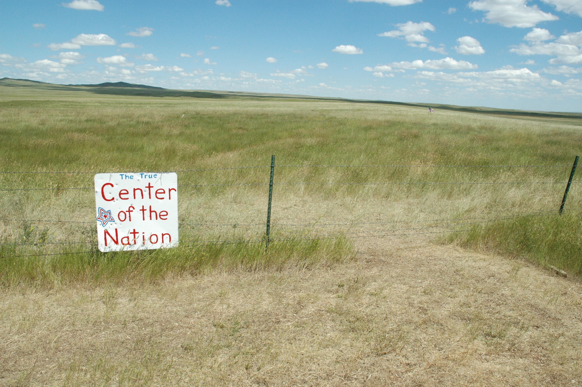
However, when Alaska and Hawaii joined the union in 1959, the calculation changed dramatically. The geographic center of all fifty states is located near Belle Fourche, South Dakota, at approximately 44°58′N 103°46′W. This location was calculated in 1959 and is marked by a simple monument about 20 miles north of the actual calculated point.
The significant shift northwestward from Kansas to South Dakota demonstrates the massive impact Alaska's addition had on the calculation, given its enormous size compared to the other states.
Historical Shifts of America's Center
The geographic center of the United States has migrated westward throughout American history as the nation acquired new territories and states. Some key historical center points include:
- 1790: After the original 13 colonies, the center was located near Chestertown, Maryland
- 1850: Following westward expansion, the center moved to Parkersburg, West Virginia
- 1900: After the continental expansion was largely complete, the center reached central Kansas
- 1959: With Alaska and Hawaii's admission, the center jumped to South Dakota
Each shift reflects a significant change in America's territorial composition and political development. The westward movement of the center point mirrors the famous concept of the American frontier and the nation's historic expansion.

How the Center Is Calculated
Determining the geographic center involves sophisticated mathematical models and has evolved over time. The basic concept involves finding the center of mass or balance point of the land area, but several methods exist:
- Center of gravity method: Treating the land mass as a rigid, flat surface of uniform weight
- Centroid calculation: Using geometric principles to find the center point
- Digital boundary analysis: Modern techniques using digital mapping and computer calculations
The U.S. National Geodetic Survey's calculations account for the Earth's curvature, coastal irregularities, and boundary complexities. Modern geographic information systems (GIS) have made these calculations more precise than earlier methods that relied on physical maps and manual calculations.
Interestingly, different mathematical approaches can yield slightly different results, sometimes varying by several miles. This explains why some sources may cite slightly different locations for the geographic center.
Visiting the Geographic Center
Both of the major geographic center sites have become modest tourist attractions, though neither has developed into major destinations.
The Lebanon, Kansas site (contiguous 48 states) features a small monument, a flagpole, and a picnic area. It's located on private farmland but is accessible to the public. A small chapel was built near the marker, making it a unique roadside attraction for travelers passing through the area.
The Belle Fourche, South Dakota site (all 50 states) features a more developed monument with a visitor center at the Geographic Center of the Nation Monument. However, the monument isn't actually at the precise calculated center-it's about 20 miles north in a more accessible location. The actual center point is on private property with no public marker.
Visitors to either site can expect a quiet, reflective experience rather than a bustling tourist attraction. Both locations offer a chance to stand at a mathematically significant point in American geography-quite literally the balance point of the nation.

Common Misconceptions
Several misconceptions surround the geographic center:
- Many people confuse the geographic center with the population center, which is currently in Missouri and has consistently been east of the geographic center due to higher population density in the eastern states.
- Some believe the center is exactly at the monument locations, when in fact the Belle Fourche monument is miles from the actual calculated point.
- There's a common misunderstanding that the geographic center represents the middle point between east-west and north-south extremes, which is a different measurement entirely.
- Many assume there is a single, definitively correct center point, when different measurement methods produce different results.
These misconceptions demonstrate how geographic concepts that seem intuitive can actually involve complex calculations and definitions.
Cultural Significance
Beyond its mathematical interest, the concept of America's center has taken on cultural meaning. For a nation that has mythologized its westward expansion and frontier heritage, the geographic center symbolizes the country's growth and development.
The heartland location of both center points reinforces the cultural importance of Middle America and rural communities often referred to as the nation's "heartland" or "breadbasket." Politicians sometimes reference visiting the geographic center as a way of connecting with "real America."
While neither center location has become a major cultural landmark, they represent an interesting intersection of mathematics, geography, history, and national identity. The very concept of finding America's balance point speaks to a human desire to locate ourselves precisely within our national space, finding literal and figurative center in an expansive country that spans a continent.
For travelers on cross-country journeys, stopping at one of these center points offers a unique opportunity to stand at a place of mathematical significance-a spot that represents, in its own way, the physical heart of America.
Frequently Asked Questions About Where Is the Geographic Center of the USA? The Surprising Location
What is the geographic center of the United States?
The geographic center of all 50 United States is near Belle Fourche, South Dakota. However, if you're only considering the contiguous 48 states (excluding Alaska and Hawaii), the center is located near Lebanon, Kansas. The calculation represents the point where a flat, rigid map of the United States would balance perfectly if it were of uniform weight.
How was the geographic center of the US calculated?
The geographic center is calculated by finding the "center of gravity" or balance point of the nation's land area. The U.S. National Geodetic Survey uses mathematical models that account for the Earth's curvature, coastal irregularities, and boundary complexities. Originally calculated using physical maps and manual methods, modern determinations use sophisticated geographic information systems (GIS) and digital boundary analysis.
Has the geographic center of the United States changed over time?
Yes, the geographic center has shifted multiple times throughout American history as the nation expanded. After the original 13 colonies, the center was near Chestertown, Maryland. It gradually moved westward with territorial expansion, reaching Parkersburg, West Virginia by 1850 and central Kansas by 1900. The most dramatic shift occurred in 1959 when Alaska and Hawaii became states, moving the center point to South Dakota.
Can I visit the geographic center of the United States?
Yes, you can visit monuments marking both geographic centers. The 48-state center near Lebanon, Kansas features a small monument, flagpole, and chapel on accessible private land. The 50-state center is commemorated at the Geographic Center of the Nation Monument in Belle Fourche, South Dakota, which includes a visitor center. However, the Belle Fourche monument is actually about 20 miles from the precisely calculated point, which is on inaccessible private property.
Is the geographic center the same as the population center?
No, these are different concepts. The geographic center represents the balance point of the physical land area, while the population center (currently near Hartville, Missouri) represents the point where the U.S. population would balance. The population center is consistently east of the geographic center due to higher population density in eastern states.
Why are there different answers for the geographic center?
There are different answers because: 1) The center for the contiguous 48 states is different from the center for all 50 states; 2) Different mathematical methods can yield slightly different results; 3) The precision of measurements has improved over time; and 4) Some calculations may handle coastal boundaries and irregularities differently.


